Area Maps of Ocean Beach
While Ocean Beach is a little beach town we still get questions like, Where is the beach? So, we thought we'd give you a few handy maps to help you orientate yourself to our corner of paradise.
OB Public Parking Locations
Ocean Beach San Diego offers parking for the public at many location throughout the community. Inside this section you will see photos of all our parking lots and maps showing their locations.
OB / Point Loma Map & Directions
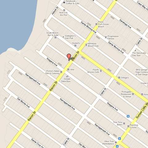
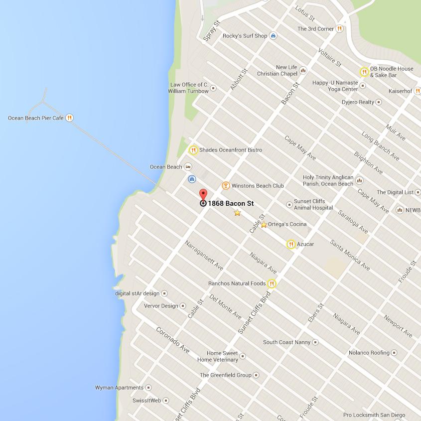
When traveling from the East take the I-8 West. When you reach the end of the freeway proceed down Sunset Cliff's Blvd until you reach Newport Ave. If you are traveling south along the I-5 freeway you will exit Seaworld Drive and follow it until you reach Sunset Cliffs Blvd. View Larger Map
San Diego Regional Bike Map
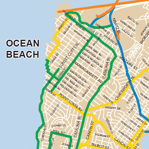
The San Diego Regional Bike Map makes biking to work a breeze. This free publication is produced by SANDAG, in partnership with local sponsors, and includes the latest updates to the region’s bikeways, as well as locations of transit centers and bike lockers. View PDF.
MTS Bus Route 923
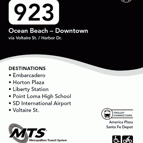
Ocean Beach – Downtown via Voltaire St. / Harbor Dr. DESTINATIONS: Embarcadero, Horton Plaza, Liberty Station, Point Loma High School, SD International Airport, Voltaire St.
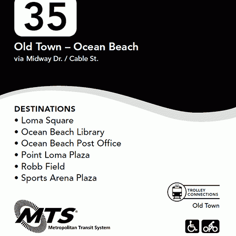
MTS Bus Route 35
Old Town – Ocean Beach via Midway Dr. / Cable St. DESTINATIONS: Loma Square, Ocean Beach Library, Ocean Beach Post Office, Point Loma Plaza, Robb Field, Sports Arena Plaza. View the full PDF which includes cash fares, monthly pass rate, directory and schedule.
OB Self-Guided Historic Walk
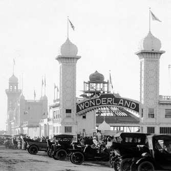
Our new Historic Walking Tour brochure is now online for all to enjoy! Many of the buildings you will find in the Ocean Beach Historic Tour originated early 1900’s and during the Resort Days of the 1920’s. Ocean Beach initially happened in spring 1887 when entrepreneurs William H. 'Billy' Carlson and Frank J. Higgins bought 600 acres of Pueblo lots (the area of coastland divided by the Yankees in 1846) and named their new acquisition Ocean Beach.
Local News


